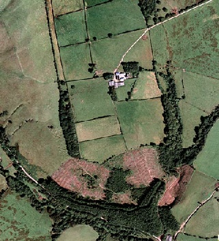
Aerial view centred on farm. The B4368 Newcastle to Anchor road is in bottom of picture
running through the wooded area. Track down to the farm is the thin white line from
top right
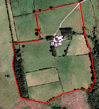
Slightly enlarged view showing our boundary lines. Area is approximately 40 acres
- and no, we don't have red fencing!
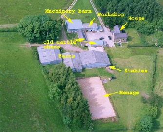
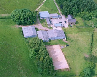
Close up aerial photograph taken July 2005